DEP and Rutgers University Unveil Online Mapping Tool for Strengthening Coastal Resilience in New Jersey
The Coastal Ecological Restoration and Adaptation Planning Tool aims to coordinate efforts against climate change-induced threats like rising sea levels and frequent storms.
The New Jersey Department of Environmental Protection (DEP) announced today the launch of a new online mapping tool, the Coastal Ecological Restoration and Adaptation Planning Tool (CERAP Tool). Developed in collaboration with Rutgers University, this digital platform will assist in planning and implementing projects to fortify the state's coastal areas against the impacts of climate change.
The DEP, in partnership with Rutgers University’s Center for Remote Sensing and Spatial Analysis, has released this cutting-edge mapping tool.
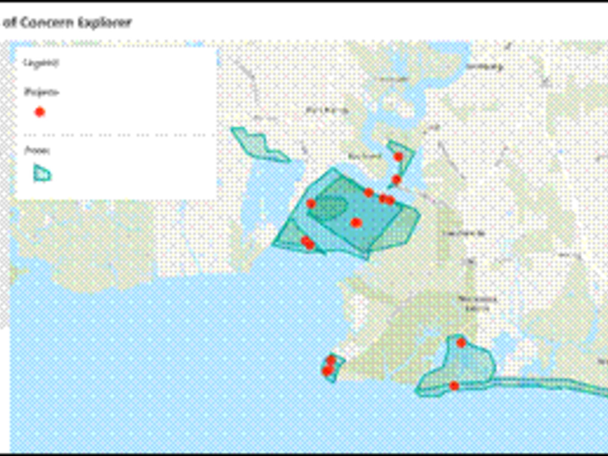
The CERAP Tool is designed to offer insights into vulnerable coastal areas, restoration sites, and other pertinent data. Its purpose is to guide the development and coordination of projects focused on bolstering resilience against rising sea levels, increased flooding, and severe storms related to climate change.
The mapping tool was announced today and is now available for public use.
The tool is accessible online and covers New Jersey’s coastal areas. For more information, one can visit NJDEP's Climate Change website.
“Making our coastline and urban coastal areas more resilient will take many strategies, many of which will be implemented at the local level,” stated Environmental Protection Commissioner Shawn M. LaTourette.
The tool will help stakeholders make targeted investments in restoration and resilience projects.
The CERAP Tool offers layers of information, identifying eight primary stressors like coastal flood damage and water quality degradation. It also features additional layers on past, current, or proposed coastal resilience projects. The tool's data can be used for federal and state funding opportunities applications.
“By equipping coastal municipal planners and our non-profit partners with this resource, we can coordinate coastal restoration projects that support community resilience, ecosystem health, and carbon sequestration,” said NJDEP Chief Resilience Officer Nick Angarone.
The platform can also be used to assess areas for restoration against future threats, evaluate proposed acquisition sites for flood threats and habitat vulnerability, and combine past restoration efforts with new actions.
The project was funded by a U.S. Environmental Protection Agency Region 2 Wetlands Programmatic Grant. It aims to build upon prior recommendations from other New Jersey climate-related initiatives, such as the state’s Climate Change Resilience Strategy and DEP’s Blue Acres acquisition program.
The launch of the CERAP Tool represents a significant step in New Jersey’s commitment to combating the looming threats of climate change on its coastal areas. The tool serves as an essential resource for public officials, stakeholders, and community members in strategizing and implementing resilience projects. It is expected to pave the way for more informed, coordinated, and effective actions to protect New Jersey’s vulnerable coastal communities.


