FEMA Finalizes Draft Flood Insurance Rate Map for Morris County
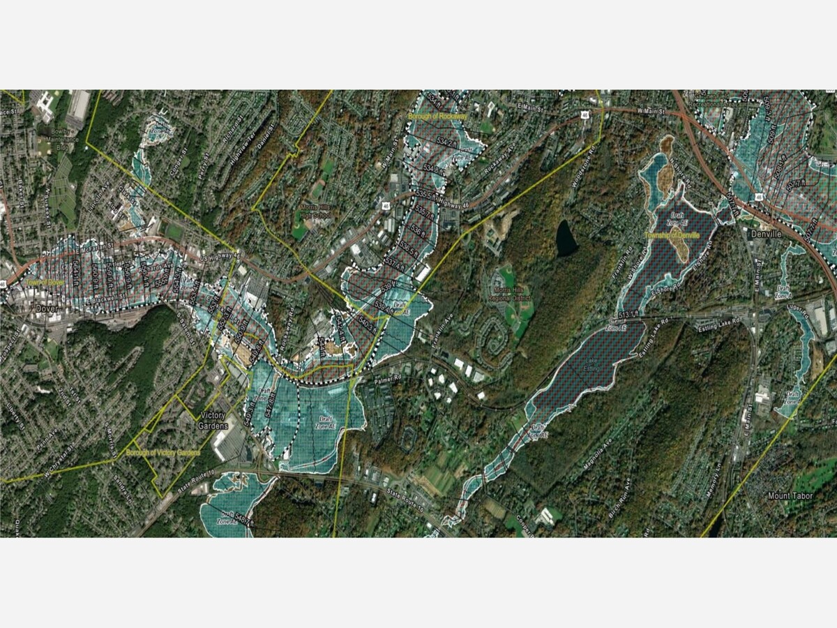
The Federal Emergency Management Agency (FEMA) Region 2 Office New Jersey Department of Environmental Protection (NJDEP) have finalized the draft Flood Insurance Rate Map (FIRM) database for Morris County, NJ. The draft maps are a collection and analysis of the initial engineering data and reflects the latest calculation of where water will collect and flow during a flood.
Please review the draft maps at Morris County NJ Draft Flood Hazard Viewer: https://experience.arcgis.com/experience/f3444eeb577c4900a948e188f803a28e/page/Page/?org=FEMA ; You may contact FEMA Region 2 Office of NJDEP at fema-r2-mit-rab-gis@fema.dhs.gov with any feedback, questions or comments related to FEMA’s draft maps.


